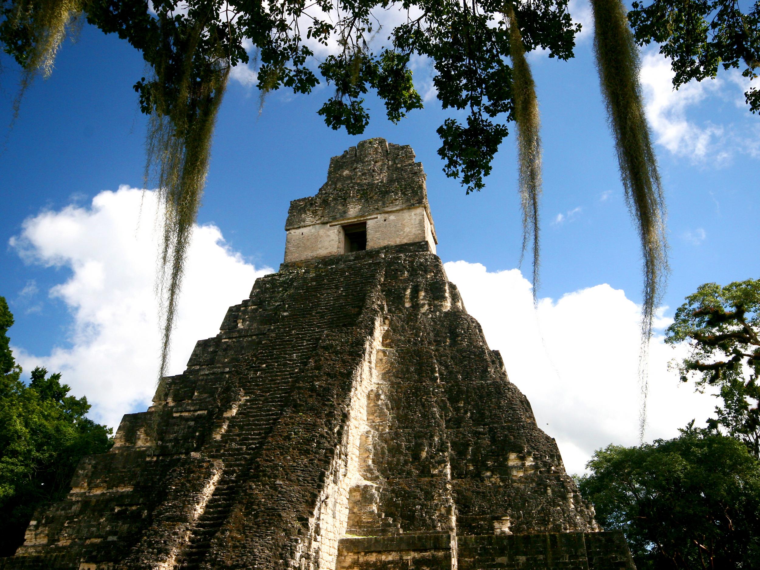
A vast, hidden network of cities, fortifications, farms and highways has been found a hidden beneath the trees of the remote Guatemalan jungle.
Scans of the area exposed 60,000 previously unknown structures, including a seven-story pyramid.
The results suggest the region supported an advanced society that peaked around 1,200 years ago, led by a mysterious Maya dynasty archaeologists call the “Snake Kings”.
Using a technology called LiDAR, scientists were able to strip away the tree canopy from aerial images and reveal the ancient civilisation underneath.

The technique uses pulses of laser light to create 3D representations of targets.
“It’s like a magic trick,” archaeologist Tom Garrison told a National Geographic documentary about the discovery. “The survey is the most important development in Maya archaeology in 100 years.”
Historically, archaeologists have assumed that Maya cities were isolated and self-sufficient, but this discovery provides evidence for a complex, interconnected society flourishing deep in the jungle.
Earlier population estimates of the Maya have never been more than two million, but the researchers behind the PACUNAM LiDAR initiative that made the discovery suggest a figure of 20 million may be more accurate.
This would mean there was around half the entire population of Europe at the time living in an area around the size of Italy.
“We’ve had this western conceit that complex civilisations can’t flourish in the tropics, that the tropics are where civilisations go to die,” said Dr Marcello Canuto, an archaeologist at Tulane University,
“But with the new LIDAR-based evidence from Central America and [Cambodia’s] Angkor Wat, we now have to consider that complex societies may have formed in the tropics and made their way outward from there.”
The team mapped a 2,100 square km (810 square mile) area around the ancient city of Tikal, a popular tourist destination located in the heart of the Guatemalan rainforest.
Scans revealed that the archaeological site was in fact three to four times larger than previously thought.
The discovery included raised highways that connected a network of urban centres and quarries.
https://img-s-msn-com.akamaized.net/tenant/amp/entityid/BBIBesh.img?h=210&w=280&m=6&q=60&o=f&l=f
There were also irrigation and terracing systems, suggesting advanced agriculture, and canals, dykes and reservoirs to control the movement of water around the society.
On the outskirts of the site, the scans also revealed extensive defences and fortifications, supporting the idea that Maya engaged in large-scale wars.
So far, the scientists have only mapped a fraction of the archaeological area, and they think there is a lot more to be discovered.
“There are entire cities we didn’t know about now showing up in the survey data,” Professor Francisco Estrada-Belli, an archaeologist at Boston University, told the documentary makers.
“There are 20,000 square kilometres more to be explored and there are going to be hundreds of cities in there that we don’t know about. I guarantee you.”


